
Navarcles - Sallent
DESCRIPTION: A very flat and simple section that runs through different very varied areas, pine forests, water canals, industrial areas, crops, with special attention to the medieval Canal of the Sèquia de Manresa.
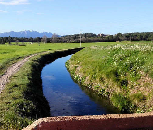
Leaving Navarcles we immediately find the first parish of the town (Sant Bartomeu) and then the Parc del Llac where different activities are held in the summer. We pass by the first textile colony (Galobard) today converted into a small area of industrial warehouses. In the middle of the forest and near the Llobregat river we reach the Pont de Cabrianes with its history and the old Casa del Pont which had been a restaurant, now closed, on the left we will see the church of Sant Jaume, although we will go right to pass right by the old Cabrianes electricity factory where you can still see the stables inside in a rather sorry state. We will go out into a cultivated area to cross the C25 below and enter the Plans de la Sala industrial estate. We cross it to find the canal of the abandoned factory and further up we will go to look for the bridge to cross the C16. And here is where we find a medieval wonder "La Sèquia de Manresa" that we will follow until we practically reach Sallent, this canal originates in Balsareny. We will see it in the next section.
INTERESTING INFORMATION
ACCESS
FGC/Renfe to Manresa,
Bus Alsina Graells to Navarcles and Sallent
GEOGRAPHICAL LOCATION:
Bages region
DISTANCE: 11.30 Km
TIME: 3:15 h. (average 3.5 km/h)
DIFFICULTY LEVEL: LOW
Saint Bartholomew Parish,
Lake Park,
Cabrianes Bridge,
Saint James of Cabrianes,
The Ditch
DIFFERENCE

DEPARTURE HEIGHT: 258 meters.
HEIGHT ARRIVED: 283 meters.
ACCUMULATED ASCENT: 201 mts.
CUMULATIVE DESCENT: 176 mts.
Slope: + 0.22 %

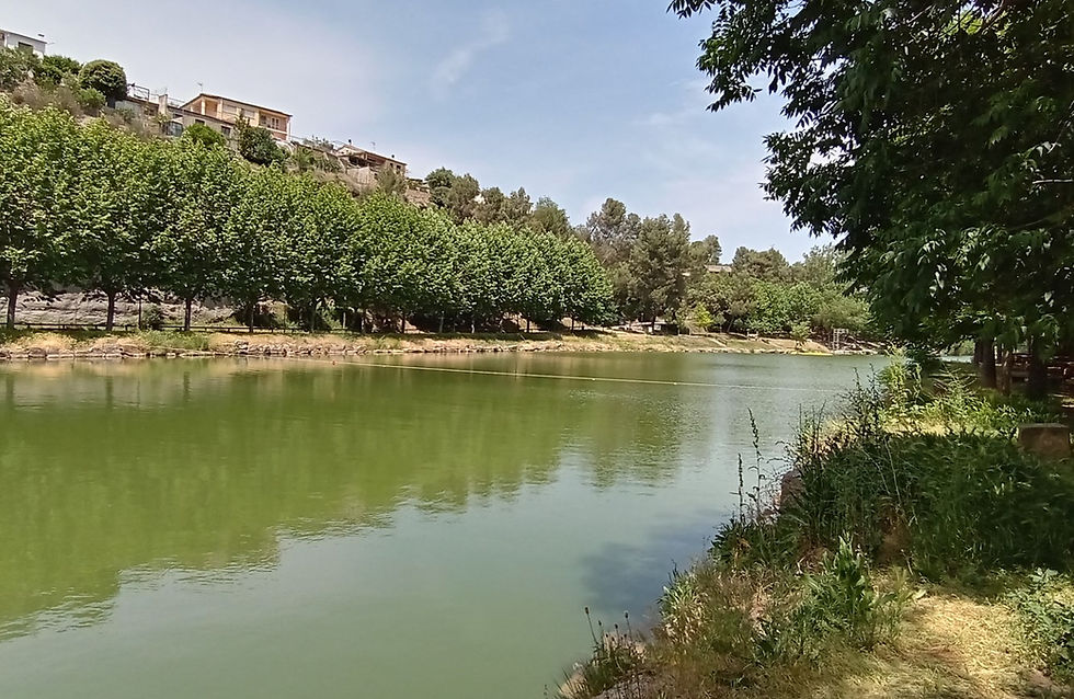
Llac de Navarcles

Pont de Cabrianes

Església de Sta. Maria a Sallent
Llac de Navarcles